English

BILBAO · AYUDA TURÍSTICA

Travel guides to Bilbao

Seven guides for Bilbao: family plans, rain, visits, food, four days and nearby trips.

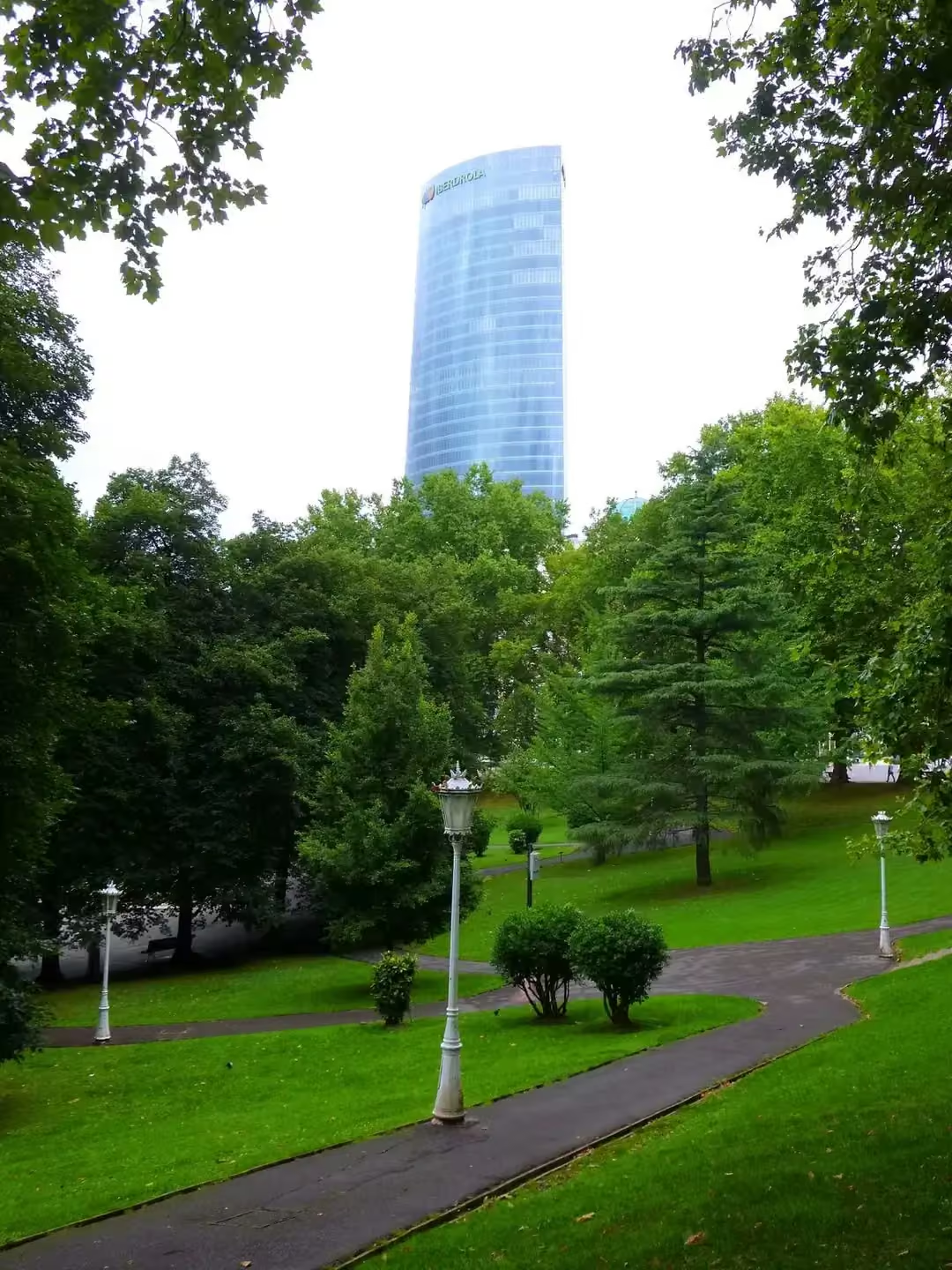
Doña Casilda Iturrizar Park
Zarateman · CC BY-SA 4.0

Doña Casilda Park links the Ensanche with Abandoibarra. Its 2006 extension strengthened a green connection towards the estuary, joining spaces previously experienced differently. Your walk slows down here: notice the trees, paths and open views. As well as providing a break, the park helps explain Bilbao's transformation through the everyday experience of moving on foot. Work began in 1907, combining straight promenades with more Romantic routes. Walking reveals that mixture better than a single photograph. Compare a formal axis with a path changing direction, using the pond or pergola as landmarks. The park can provide a break between nearby cultural visits. Observe wildlife without feeding it and keep through paths clear.
Explanation source ↗

Bilbao with children

Open guide
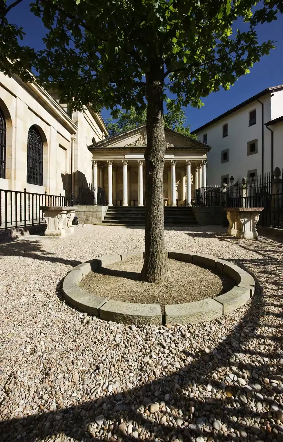
Azkuna Zentroa
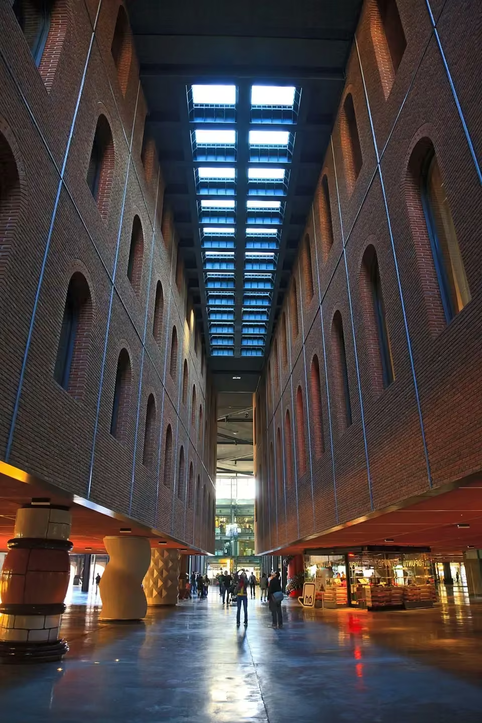
Tomas Fano · CC BY-SA 2.0

The former Alhóndiga stored wine and oil before becoming a contemporary cultural centre. Its changing role offers a miniature history of Bilbao: a building associated with everyday supplies now encourages creativity and meeting. Compare the exterior with the interior space and notice how the memory of working infrastructure coexists with cultural uses and new ways of gathering. The atrium’s 43 columns offer a way to explore that transformation: compare their forms and materials, then look at how they visually support the volumes above. Different areas have different access conditions. An exhibition, a film and sports facilities are separate activities; check the programme rather than assuming everything is included. The building can also be part of a rainy-day plan without using every service.

Explanation source ↗

Bilbao on a rainy day

Open guide
Mercado de la Ribera
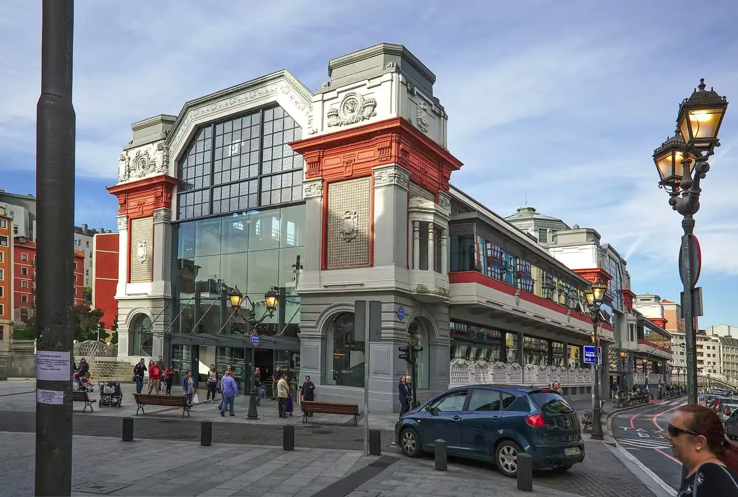
PA · CC BY-SA 4.0

Pedro Ispizua built the Ribera Market in 1929, beside a place closely connected with Bilbao's trading history. The estuary, San Antón Church and market bring together supply, transport and urban life in one scene. Observe the façade from the promenade and, if you enter, leave room for people doing their everyday shopping around the stalls. Distinguish food stalls from dining areas: they share a building but may follow different opening hours and arrangements. Walk through open stalls without obstructing work and notice how products are grouped. Then return outside to relate the market’s scale to San Antón and the water. Eating here is optional and does not replace understanding the market as everyday city infrastructure.

Explanation source ↗

Where to eat in Bilbao

Open guide
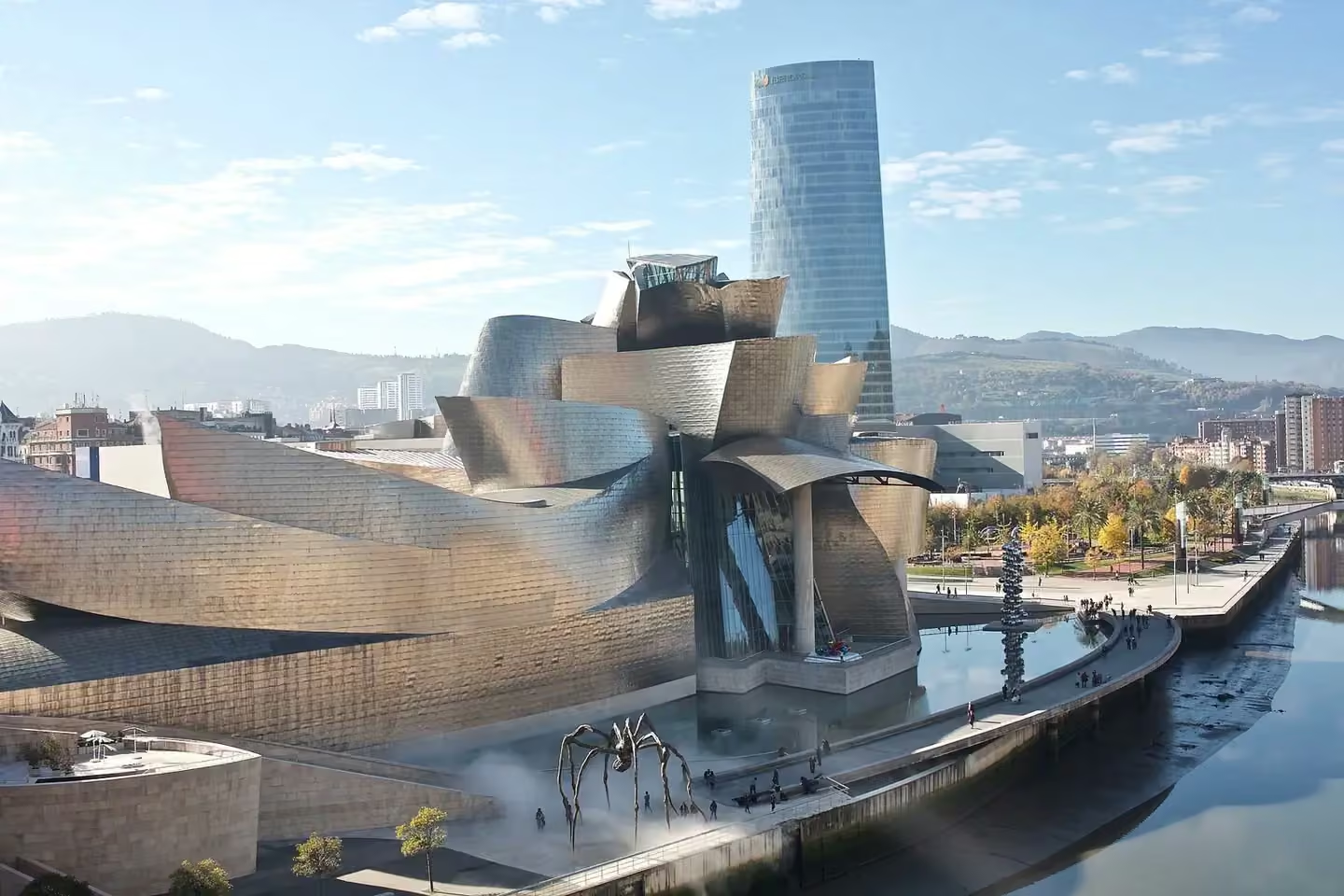
Guggenheim Museum Bilbao
Naotake Murayama · CC BY 2.0

The Guggenheim occupies a bend in the estuary formerly used by the port and industry. Its construction between 1993 and 1997 reveals a change in the waterfront’s use, although it does not explain Bilbao’s entire transformation on its own. Frank Gehry combined titanium, glass and limestone: compare opaque surfaces, reflections and transparency before taking a photograph. The titanium changes tone with the atmosphere, making different viewpoints along the promenade rewarding. The curves required digital design tools such as CATIA. Exploring the exterior is a visit in its own right; allow extra time for the galleries and check current exhibitions and admission arrangements with the museum.

Explanation source ↗

Guggenheim: admission or guided visit

Open guide
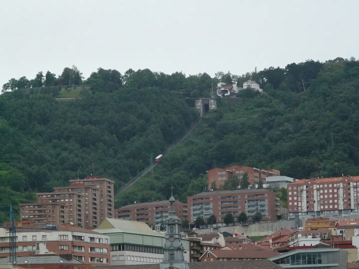
Mount Artxanda
pere prlpz · CC BY-SA 3.0

The funicular has linked Bilbao with Artxanda since 1915. From above, individual streets become a city surrounded by hills. Follow the estuary with your eyes and identify the neighbourhoods you have walked through. This perspective helps explain Bilbao's affectionate nickname, the Botxo, associated with its enclosed setting. Pause before beginning the journey back down. Treat the funicular ride and the walk at the top as separate parts of the plan: not every viewpoint is beside the station, and your return need not follow the same route. Check the service before leaving and decide how you will descend. Poor visibility can hide the panorama, so consider the weather before making this stop the main photographic moment of your trip.

Explanation source ↗

Artxanda: plan your trip up

Open guide